Imagine being new in a community. Regardless of whether you rent or own your home, you need to get your utilities—e.g., water, power, trash—connected and an account set up in your name. In many places in the US, if you build a new patio or make extensions to your home, you need to get proper permits and permission from the city or county before you start those projects. But some cities and counties—especially in more rural areas in Texas—don’t have the resources to properly monitor or provide permits for these building changes.
Fort Hancock, Texas, is an unincorporated town located off I-10 about 45 minutes south of El Paso. Fort Hancock is located in Hudspeth County, the third largest county in Texas with one of the smallest populations in the state. The county has a limited tax base, which makes it difficult for officials to raise the funds necessary to step in and help these communities. The area has no formal local city government, and they are considered a colonia because there is inadequate drainage, wastewater treatment, and in some places a lack of access to water and power.
Fort Hancock has a beautiful desert landscape with mountains to the east and the Rio Grande River to the West. In the summers, the rains are unpredictable and fairly rare, but it only takes one-inch of rain for the water to come rushing down the mountains through previously dry creeks and streams. Community members call this rushing water an arroyo and talk about them like a force coming down from the mountains that leaves destruction in their path.
In 1945, Fort Hancock had a population of 240 people when the Army Corps of Engineers built four dams to control water flow off the mountains (and at least one private dam has been constructed), but the recent drought conditions mean that there is rarely water that pools in these structures. Fort Hancock has grown over time and in the 1980’s and 1990’s there was expansion into an area referred to as East Fort Hancock. As of 2023, there are over 1,000 people living in this unincorporated area and as they have grown, so have the paths the arroyos take through their community.

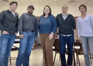
Nicholas Diaz, Sergio Quijas, Keri Stephens, Andrew Juan, Yifan Xu
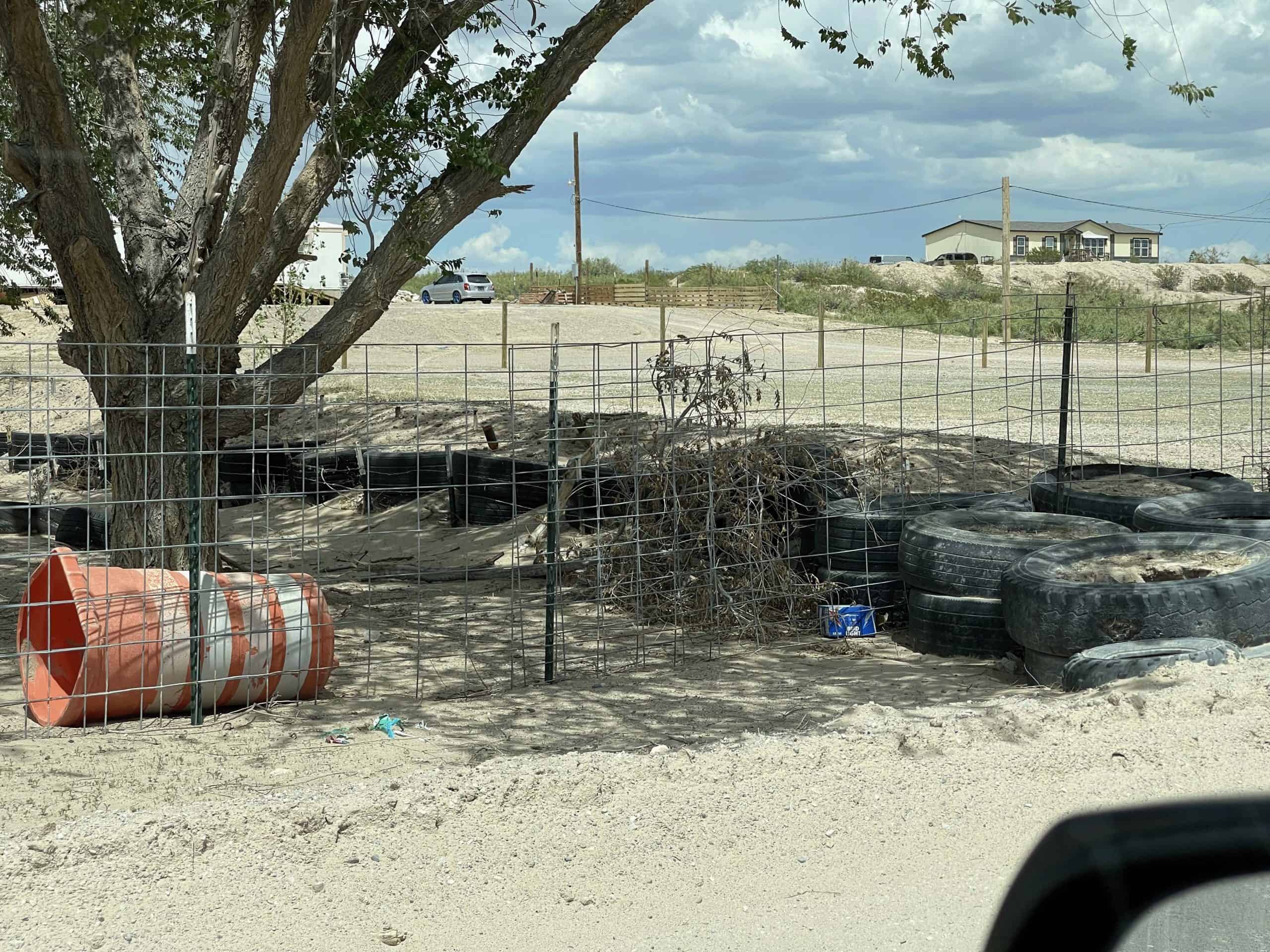
People driving down the major street (an unpaved, dirt road) in East Fort Hancock will notice many small hills composed of dirt, old tires, and brush (see photos). These common structures often appear in between the homes. Over time, people living in these homes have built these berms to divert the arroyos away from their homes so they are not flooded. The challenge is that every time a new berm is built, it then impacts their neighbors and changes the flow of the water. Aerial views of the arroyo dry creek beds show that the water no longer runs from the mountains to the Rio Grande, but instead, the berms have created conditions where the water now loops around homes with berms and even makes a semi-circle in some situations.
County Commissioner, Sergio Quijas, is called out during every rain to fix the roads. Most are dirt roads and the flowing water turns them into mud pits that people cannot safely drive on until some road base is built up or the water dries up. There is even one area where a small bridge is over the road, and the arroyo rushes so fast that it creates a rut and cars go hood first into the rut and cannot get out. While Commissioner Quijas fixes the roads, the next arroyo will likely wash them out again.

Our team began investigating the data available to help this community and their county apply for grants and funds to address their current and increasing flood risk. We found this area is in a data desert—the last time their flood risk was mapped by the Federal Emergency Management Agency (FEMA) was 1985, and there is not enough data for them to be included in the current Texas Water Development Board (TWDB) flood quilt mapping efforts. Actually, when combining every type of data that could indicate their flood risk, it appears they have almost no documented risk. Yet the community has been flooding at least once a year, for the past five years.
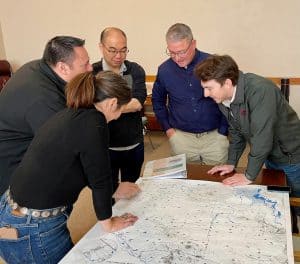
Our team created a large paper flood risk map for their county, and when shown to County Judge Joanna MacKenzie and Commissioner Quijas, they were both shocked. They immediately showed us geotagged images and videos of water rushing down one of the major streets in Fort Hancock and even washing out the bridge on that road. Our own visit to the community revealed evidence of water marks on fences and curling siding at the base of homes; it was clear that flooding occurs in this area, but it doesn’t show up on any flood risk maps.
The DRIP’s team’s next step is to figure out how to help the community create their own data and evidence that they are flooding. It is exciting to have such incredible community partners in Judge MacKenzie and Commissioner Quijas and we look forward to continuing to help them make their risk visible.


