DDRC
Disaster Data Reconnaissance Center
Advancing Resilience Through Disaster Reconnaissance
Disaster Data Reconnaissance Center (DDRC)
Our vision is to enhance disaster resilience by providing access to high-quality, integrated disaster data across air, land, and water environments.
Our Mission
Our mission is to provide secure, reliable disaster data solutions through cutting-edge sensing technologies and expert personnel as a service, supporting research, emergency response, and resilience planning.
Overview
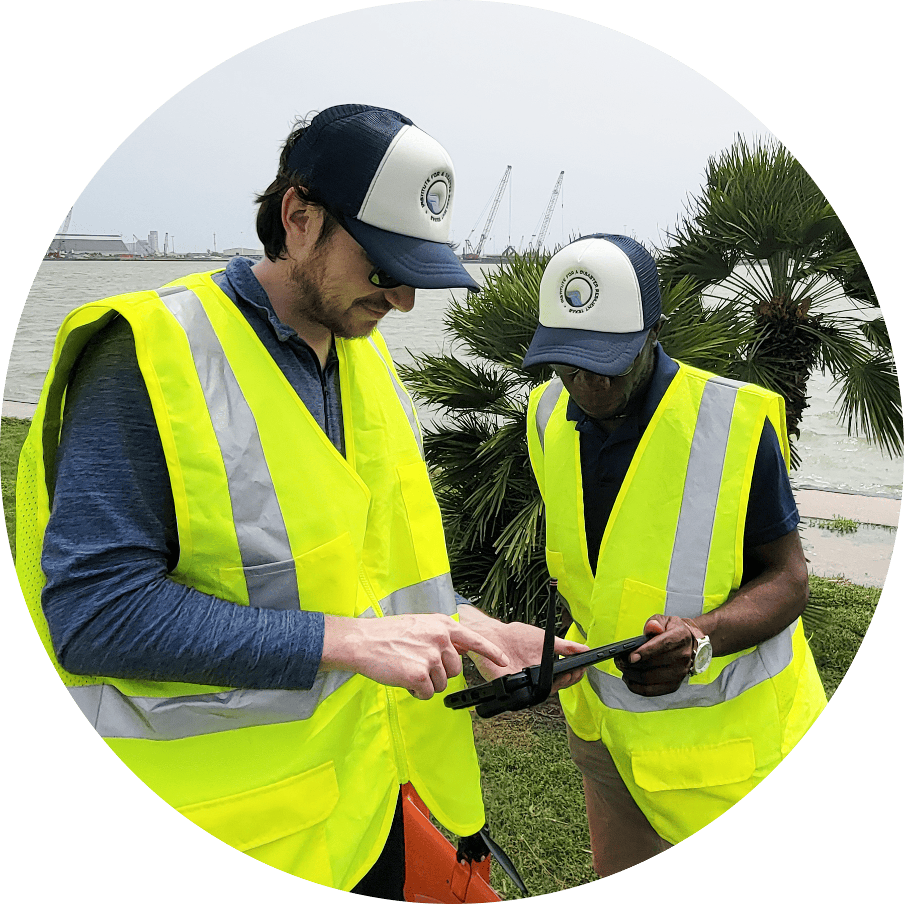
The Disaster Data Reconnaissance Center (DDRC) is a field-ready applied research and service center of Texas A&M University. The center provides comprehensive disaster data services—including multi-modal sensing for acquisition, processing, and analysis across aerial, terrestrial, and aquatic environments —alongside strategic consulting, compliance guidance, and hands-on training in field methods, sensing technologies, and UAS operations beyond FAA Part 107 certification. Housed within the Institute for a Disaster Resilient Texas (IDRT), the center combines academic expertise with operational agility to support researchers, public agencies, and practitioners in advancing disaster resilience through cutting-edge sensing and data integration.
Our Goals
DELIVER
Deliver applied data solutions for disaster preparedness, response, and recovery.
SUPPORT
Support interdisciplinary research and foster cross-sector collaboration through reliable field data collection and tailored technical services.
BUILD CAPACITY
Build capacity through training, outreach, and technical assistance.
What are some of the advantages of working with DDRC?
DDRC is housed within IDRT & TAMU infrastructure, uniquely positioning it for disaster data.
- Academic integrity with operational agility. We combine research-grade quality with field-tested execution.
- Partner ecosystem embedded in a robust network to amplify resources, reach, and impact.
- We are advancing workforce development by empowering future practitioners through guided training, while fostering a collaborative, learn-from-each-other model
- Transparent costing and deliverables that are ideal for collaborative planning, budgeting, and reporting.
Secure, NDAA-compliant equipment
- Meets federal and state standards for sensitive operations.
Multi-modal sensing capabilities.
- Aerial, terrestrial, and aquatic environments.
Services & Capabilities
Disaster Data Reconnaissance Services
- Data acquisition
- Data processing
- Data analysis and interpretation
- Start-to-finish, tailored project deliverables
Consulting & Decision Support
- Strategic reconnaissance planning
- Compliance consulting
- Data architecture and processing guidance
Training & Certification
- Field data acquisition campaign planning and execution
- Field methods with traditional and advanced geotechnical equipment
- Multidisciplinary data processing and product development
- Beyond FAA Part 107 certification:
- UAS operation planning and execution training
- Sensor Training
- UAS data processing and product development
Key Technologies and Tools
Aerial
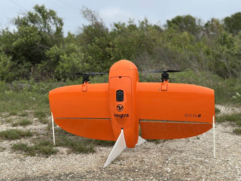
- WingtraOne Gen II (drone)
- Oblique Sony a6100 (3D mapping camera)
- MicaSense RedEdge-P (Multispectral camera)
- PPK / RTK supported
Terrestrial
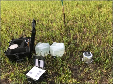
- Saturo Dual-Head Infiltrometer
- Terrestrial laser scanners (TLS) + image meshing
- Ground control and RTK supported
Aquatic
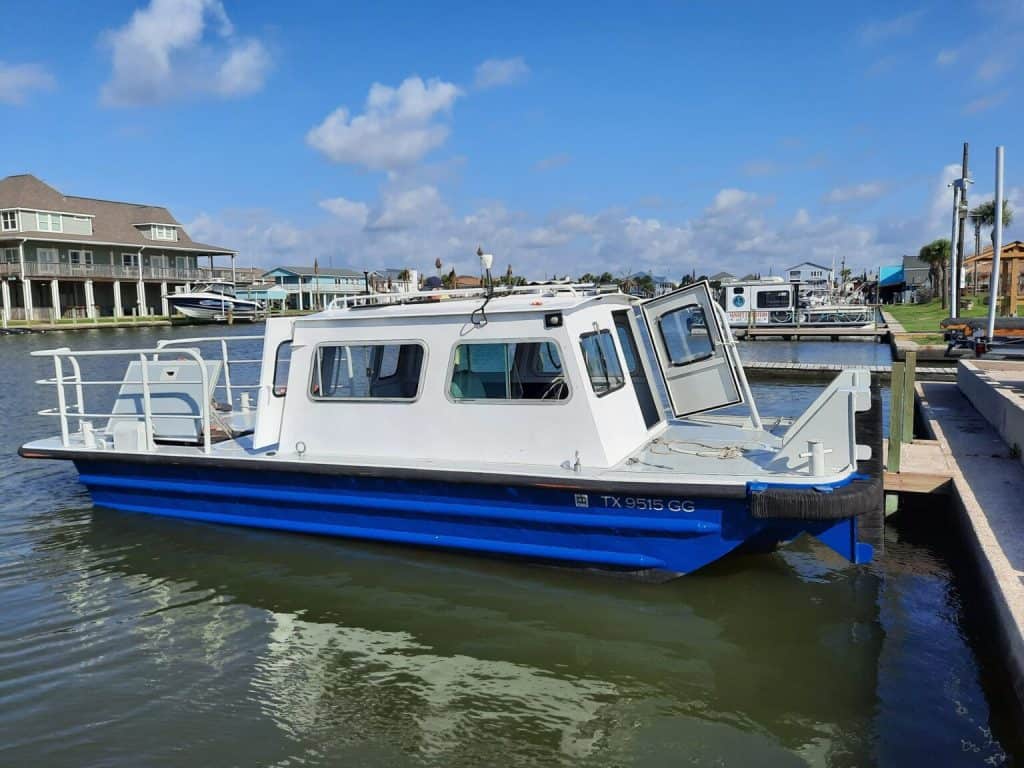
- Scalable vessel platforms
- Single and multibeam echo sounders
- Side-scan sonar
- Sub-bottom profiler
- Multisensory core logger (sediment core analysis)
High-Performance In-House Processing
- 24-core AMD Threadripper Pro CPU
- 128GB ECC RAM
- NVIDIA RTX 4070 Super GPU
- Sub-bottom profiler
- 8TB of Gen4 NVMe SSD storage )
Note: DDRC does not provide long-term data storage. Project deliverables should be downloaded within 30–60 days of completion.
Data Retention Policy: The Disaster Data Reconnaissance Center (DDRC) offers temporary data storage for active project workflows. Final deliverables will remain accessible for 30 to 60 days after project completion. Long-term or archival storage is not included. After this period, data may be securely and permanently deleted from DDRC systems.
Use Cases
- 3D modeling and mapping of natural and built environments
- Orthomosaic
- Point cloud
- Digital surface/terrain model creation (DSM/DTM)
- 3D web visualization and storytelling (digital twins, post-event assessments)
- Topographic data for hydrologic and hydraulic (H&H) modeling
- Risk and damage assessment
- Building information extraction and inspection
- Debris modeling
- Soil infiltration rate measurement (Ksat)
- Beach and dune monitoring
- Vegetation health monitoring
- Shoreline erosion and wetland loss tracking
- Bathymetric mapping
- Submerged debris detection and hazard mapping
- Sediment transport monitoring
- Water quality assessments
- Saltwater intrusion detection and salinity monitoring
- Remote sensing time series analysis (change detection, classification)
- General surveying and site reconnaissance
- Data integration and fusion across domains
Real World Applications
- GGCCD
- NPS
- DRIP?
- Infiltration project
- FFEs, beach monitoring, etc.
CONTACT US:
Have specific questions about DDRC? Please email Dr. Nicholas Hoskins


