
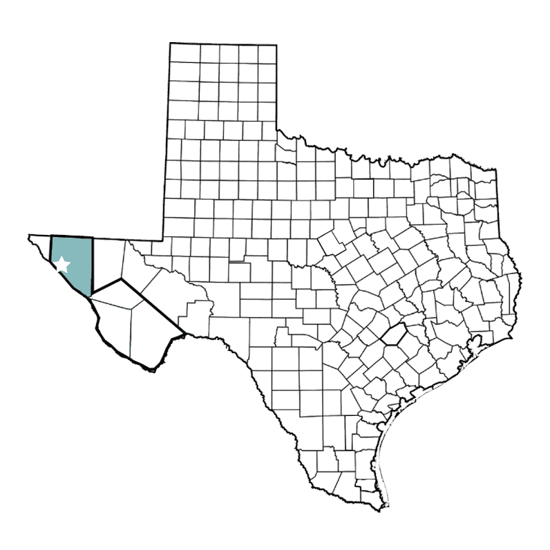
Hudspeth County


Fort Hancock Community Flood Knowledge Collection Project
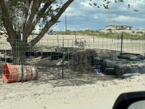
Fort Hancock is a community in Hudspeth County that experiences unique challenges due to frequent flash flooding and non-traditional/unregulated housing and community berm construction. Roads and bridges washing out are a particular danger and concern to the county.
The County Judge, County Commissioner, and Emergency Management Coordinator are all interested in addressing flooding issues in this community, but there are no good traditional flood data sources available to accurately map, model, and communicate the current risks to the community. Fort Hancock does not show up in traditional risk analyses anywhere as being at risk for flooding, but they are flooding almost every year from smaller, flash-flood events.
The DRIP team and county leaders decided on this unique pilot project designed specifically to address the “data desert” found in small, underserved communities like Fort Hancock. This project will develop a process to collect community-held knowledge (such as photos; verbal descriptions of water lines and dates of major storms leading to flooding; and verbal identification of areas/locations prone to flooding, etc.) to inform future mapping and modeling products.
The main products will be:
- A process to systematically collect data to document and describe flooding in this flash-flood vulnerable community, initially through a Qualtrics survey which will then be field tested and developed into a custom application to collect community survey data and photos (in both Spanish and English); and
- A GIS Data Viewer to display the information collected from the community along with official flood data sources from the Federal Emergency Management Agency and the Texas Water Development Board, combined with other information, such as the location of structures.
The project will include the following components:
- Community data collection
to gather evidence of flooding to support grant/funding applications and policy/planning decision making. This will be a door-to-door data collection effort using trained community members to build community-driven flood hazard maps.
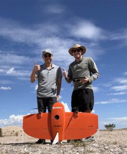
- Collection of aerial images
- Exploration of simple tools to display
the information. Hudspeth County will have the ability to interactively view flood hazard data within their community through a simple GIS interface, which will use official flood data sources and combine with other information, such as the location of structures.
- Recommendations for future use
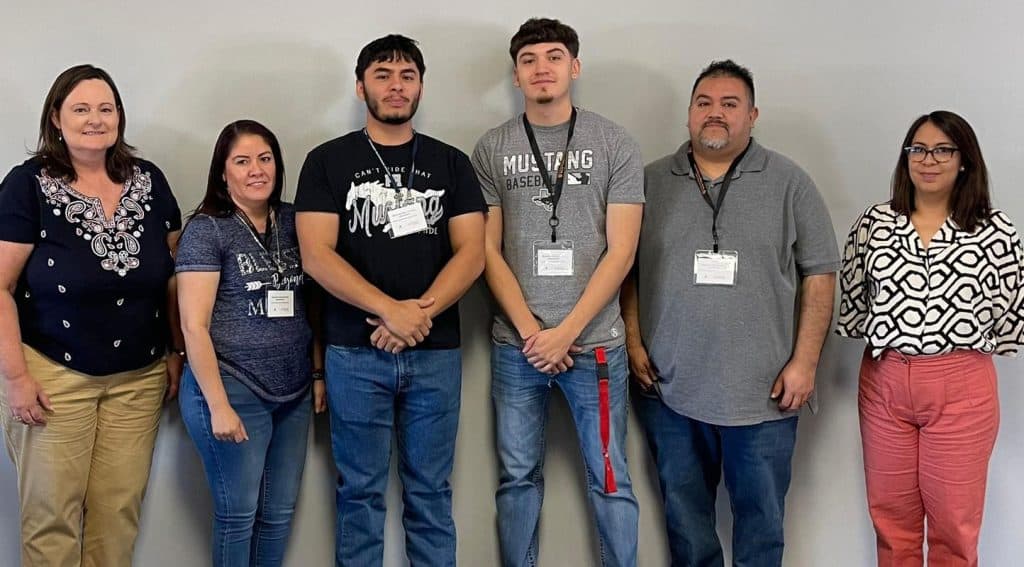
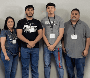
Hudspeth County Data Collection Team: Keri , Juvencia, Josh, Bryan, Willy, and Samanta

DRIP team meets with Hudspeth County to share flood maps.
Pictured left to right: Nick Diaz, TAMU; Yifan Xu, UT; Dr. Keri Stephens, UT; Joanna MacKenzie, Hudspeth County Judge; Monty Dozier, TAMU AgriLife; and Jamil Moutran, Emergency Management Coordinator, Hudspeth County.

DRIP team meeting in Fort Hancock to discuss flooding.
Pictured left to right: Sergio Quijas, Commissioner, District 2 Hudspeth County; Dr. Keri Stephens, UT; and Dr. Andrew Juan, TAMU.
The project timeline will involve the following phases:
Training phase
May – June 2023
Training local community members to collect and upload data
Data collection phase
June-September 2023
Georeferencing the images collected and creating a simple visualization of the data in the form of a community floodplain map
Data analysis & visualization phase
September – October 2023
Conducted during both the monsoon season and non-monsoon season and including drone flights in August
Period of review, ground-truthing, and finalization
October-December 2023
Obtaining feedback from the community and finalizing the map, as well as making all of the data available to the community and providing recommendations for future use of the data.
If you have questions about this project, please contact:
Dr. Keri Stephens
keri.stephens@austin.utexas.edu
Latest News
Data From the Heart of the Desert: A Community Making a Difference
Fort Hancock, also portrayed in our previous blog posts, is a community of hard-working individuals. Even though this is a desert, it is also a
Using Drones to Address Data Deserts
By Nicholas Diaz, PhD student, and Dr. Andrew Juan, Associate Research Scientist Arriving in Fort Hancock, Texas for the first time, it was clear to
A True Data Desert: Fort Hancock, Texas
Imagine being new in a community. Regardless of whether you rent or own your home, you need to get your utilities—e.g., water, power, trash—connected and