
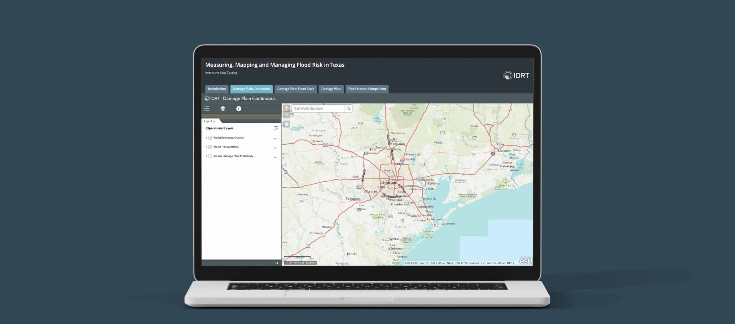
IDRT recently updated and improved on our the original tool for identifying flood risk across 14 counties along the Upper Texas coast. New features include: (1) more explanation of how we are using statistical machine learning techniques to identify expected flood impacts based on parcel-level flood damage claims; (2) different return periods/probability of flood events; and (3) a comparison section that allows a user to scroll between traditional physics-based FEMA flood plain designations and our “damage-plain” approach.